
If you ever find yourself visiting New Hampshire (and you really should), you’ll want to add the Kancamagus Highway aka “the Kanc” to your itinerary, especially if you want to see some of the best fall foliage that New England has to offer. As you wind your way along the curves of this National Scenic Byway, you’ll find yourself gawking at the stunning mountain and river views and making lots of stops to enjoy all of the hiking, waterfalls, historical sites and swimming holes that this area has to offer.
Where is the Kancamagus Highway?
The Kanc is located in the White Mountain National Forest in north-central New Hampshire; the 34-mile stretch of NH Route 112 runs east to west between the towns of Conway and Lincoln.
The largest nearby airport is Boston Logan International, about 2.5 hours away. Alternatively, you can save a little time by flying into either Manchester, NH or Portland, ME.
Where should you stay when visiting the Kancamagus Highway?
You will find lots of great lodging, dining and activity options in and around both Conway/North Conway and Lincoln, the two terminal towns of the Kancamagus Highway, the below are just a few of the many options. There are also 6 first-come/first-serve campgrounds located along the Kanc that allow both tent camping and trailers (no hook-ups).
Conway/North Conway Area
Camping:
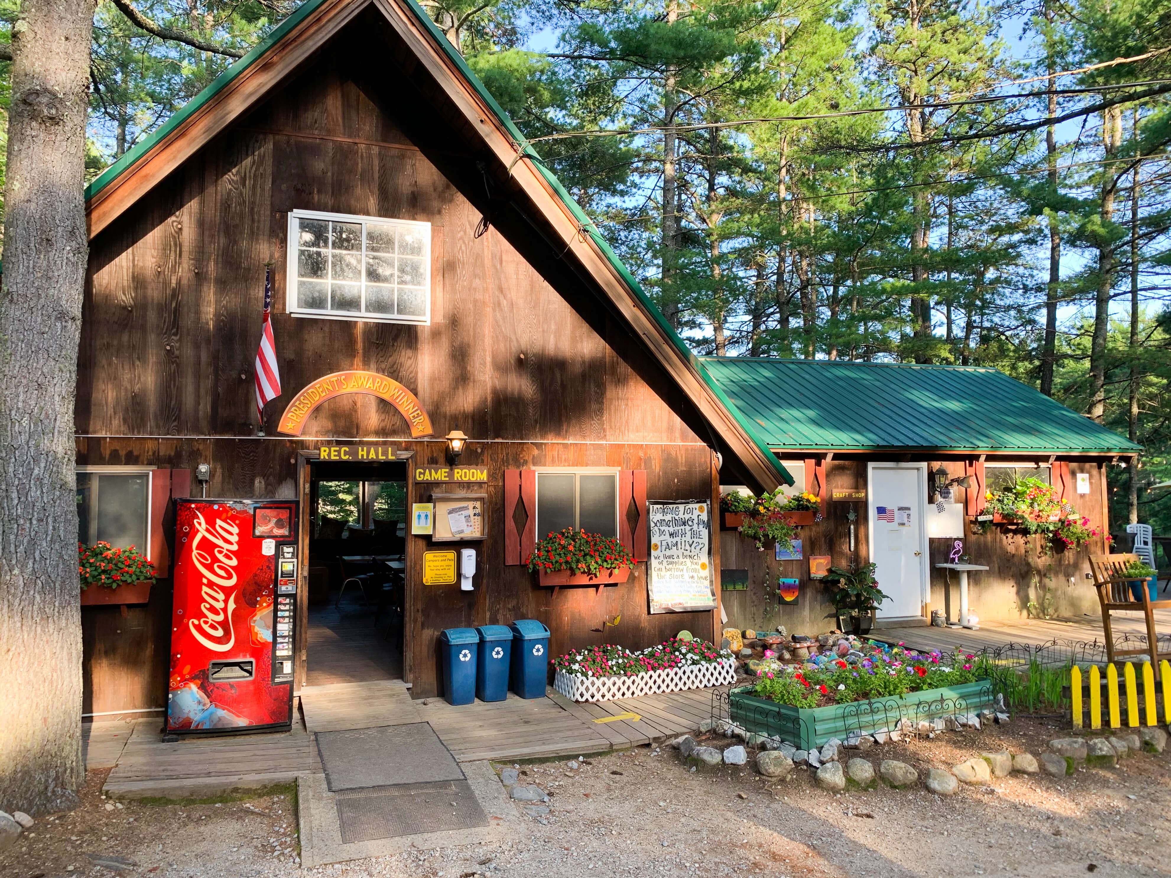
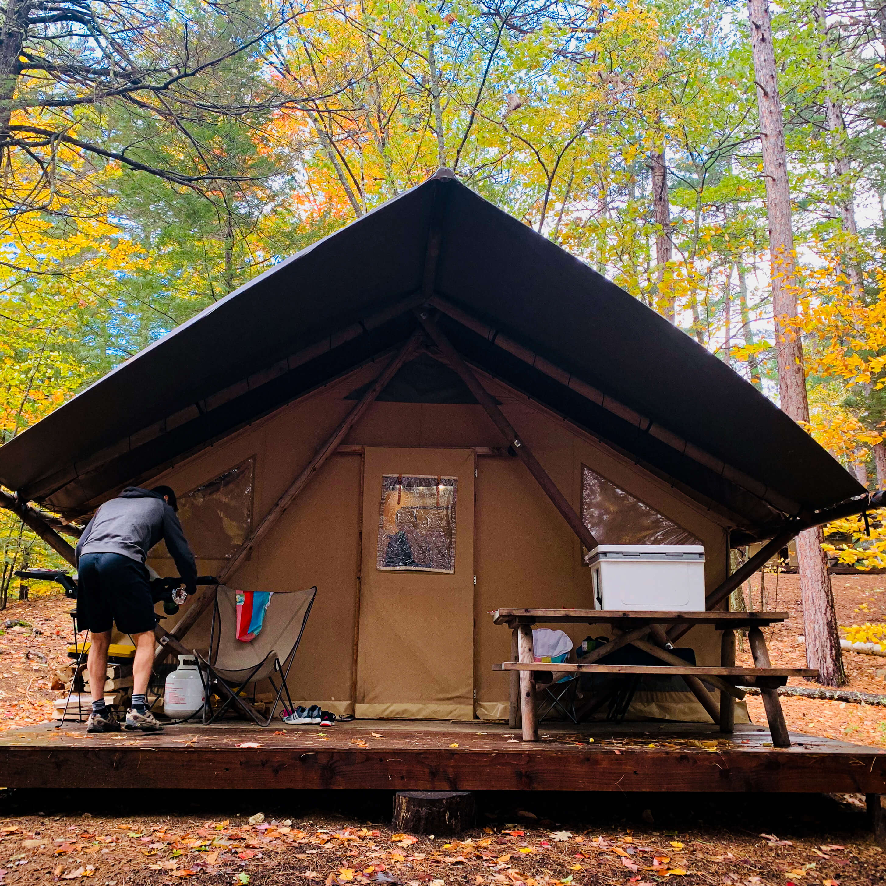
- Huttopia (5.5 miles): glamping tents and cabins with an on-site lake, food truck and family-friendly activities.
- Chocorua KOA Holiday (13 miles): RV and tent sites in a wooded setting with tons of activities and amenities.
Hotels/Resorts:
- White Mountain Hotel and Resort: Cozy, recently renovated hotel with good on-site restaurants
- Red Jacket Mountain View Resort: Large family-oriented resort with attached water park
Food:
- Peach’s Restaurant: Small breakfast/lunch restaurant with quick service and a creative menu
- Moat Mountain Brewing Company: Brewery & restaurant with a good menu in a historic setting
- Flatbread Company: wood-fired pizzas including gluten-free and vegan options.
Lincoln/Woodstock Area
Camping:
- Lincoln/Woodstock KOA (12.5 miles): Open campground with tent and trailer sites plus cabins with lots of kid-friendly activities.
- Lost River Valley Campground (10.5 miles): Tent and trailer sites plus cabins
Hotels/Resorts:
- RiverWalk Resort at Loon Mountain: High-end resort offering suites with on-site restaurant, spa, winery and more.
- Indian Head Resort: Historic, family-friendly resort with private lake.
Food:
- White Mountain Bagel: Good selection of breakfast and lunch sandwiches, coffee & baked goods
- Flapjacks Pancake House: Popular breakfast place in a rustic setting, go early to avoid a long wait
- Black Mountain Burger Company: Long list of burger options plus lots of other menu items
- The Common Man: Cozy, country-style restaurant with a variety of menu options
How long do you need to drive the Kancamagus Highway?
This really depends on you! By stopping at just the main viewpoints and doing a couple shorter hikes, the entire drive is doable in 3-4 hours; plan for a full-day adventure if you want to do multiple or longer hikes along the way.
If you visit during the peak fall foliage season be prepared for traffic. Start early for the best chance of fewer cars on the road and finding parking in the most visited spots.
Important things to know before you drive the Kancamagus Highway:
- Little to no cell phone service is available along the highway
- Gas stations do not exist along the 34 mile stretch between Conway and Lincoln
- You won’t find restaurants or stores along the highway; there are plenty of picnic tables however.
- There is a $5 daily recreation fee for parking in any lot along the highway; buy a pass in advance online, at a Ranger Station and at some local vendors. In addition, the fee can be paid at most stops by leaving money in an envelope at the self-service mailbox stations. National Park passes are also acceptable.
Can’t Miss Stops on the Kancamagus Highway
1. Albany Covered Bridge
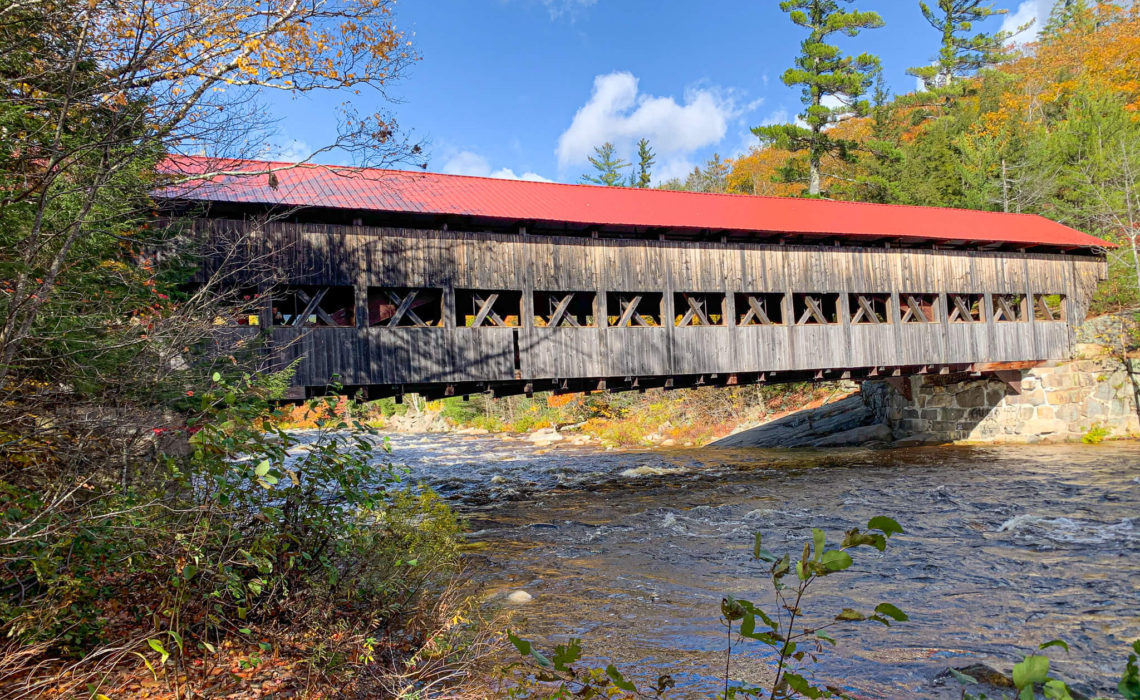
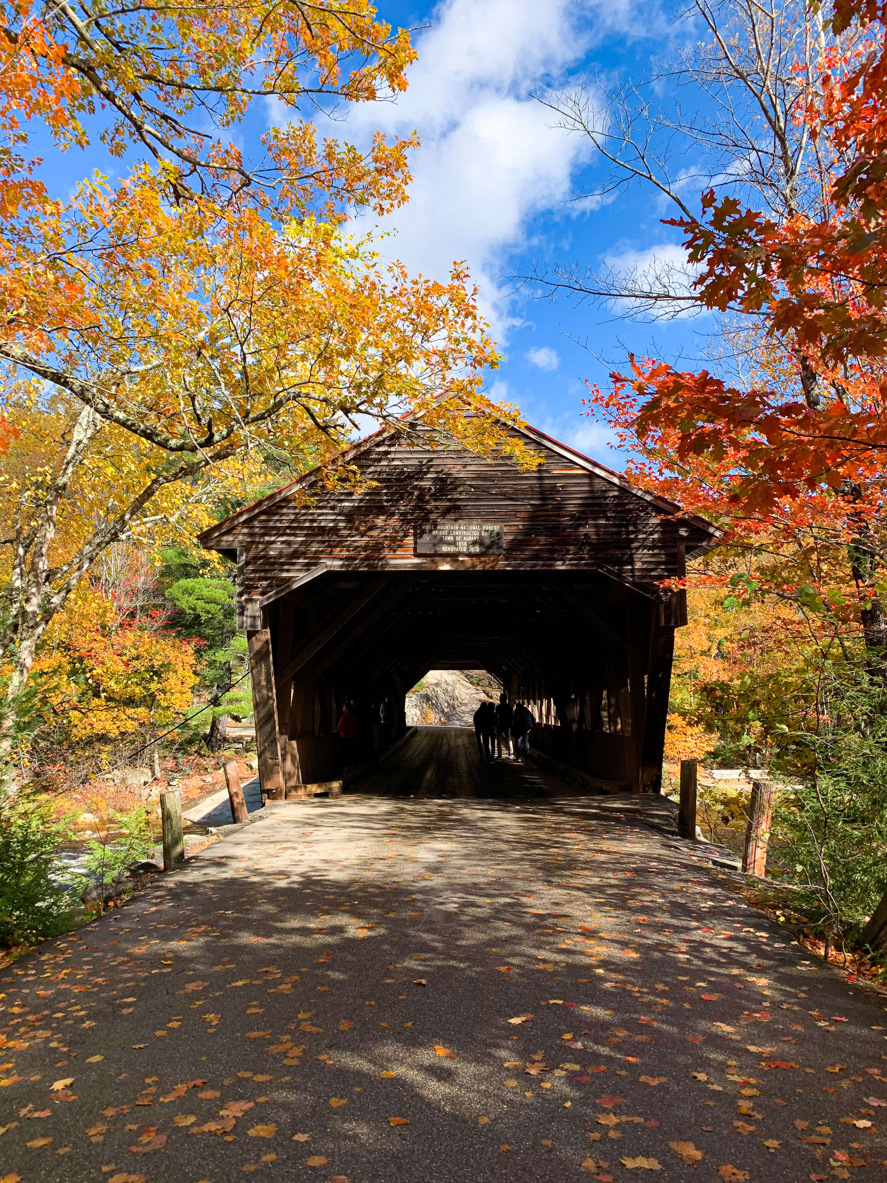
Albany Covered Bridge, originally built in 1858, is a quaint stop to take in a traditional New England covered bridge. The mountain backdrop, river and foliage make for especially stunning pictures of the bridge if you visit in the fall. Our kids didn’t find the bridge super exciting so I wouldn’t plan to spend much time however it’s still worth a quick stop.
Cars are allowed to cross so be aware of oncoming traffic while standing on the bridge.
2. Boulder Loop Trail
(Distance: ~3 mile loop)
The Boulder Loop Trail is a can’t miss if you are looking for spectacular views of the fall foliage. From the Kancamagus Highway, cross over the Albany Covered Bridge and you will find the trailhead on the left; there is also a parking lot right across the street.
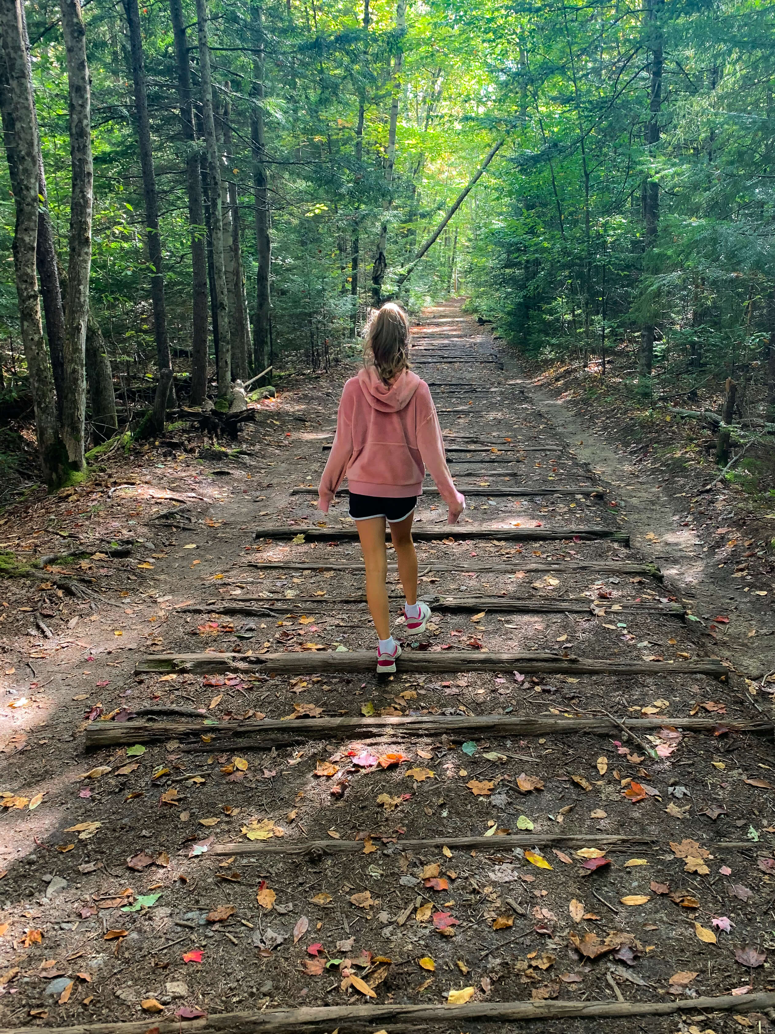
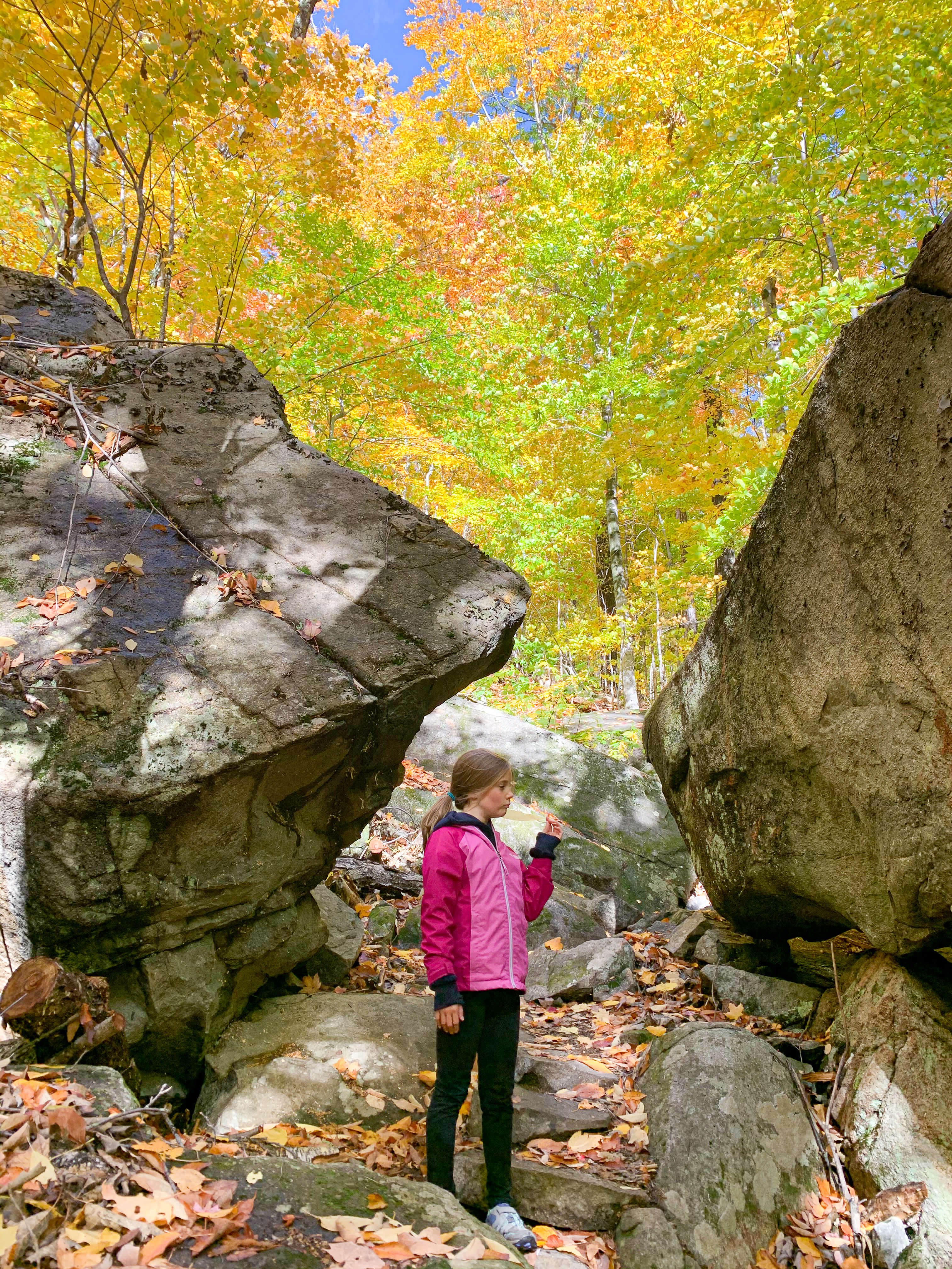
The trail is a loop; turning left at the fork (about 0.2 miles in) is reportedly the easier direction. We didn’t do our research in advance and went right; we thought that the hike in that direction was moderately challenging but our kids handled it just fine. The first mile of the hike takes you through the woods; there are lots of fun boulder formations that our kids (and me) had fun climbing and peeking into. As you get closer to the ledge the trail starts to climb more steeply; if you chose the counterclockwise direction there are primitive stone stairs that help. The last section is a bit of a workout but nothing too challenging.
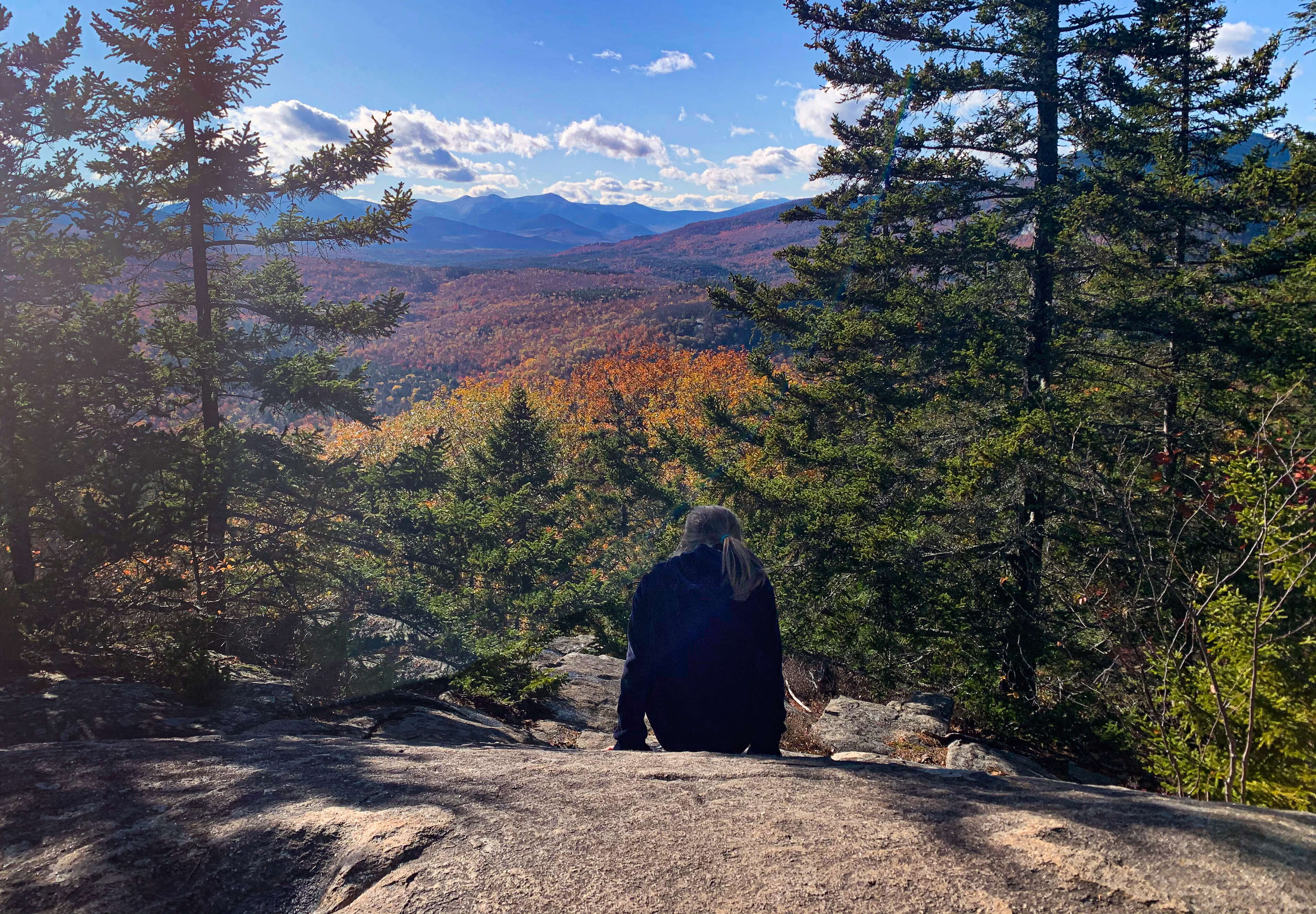
At the top of the steps you’ll see a sign for the spur trail leading to the ledges where you’ll find stunning views of the valley and Mt. Chocorua. Be aware of the steep drop-offs at the edge of the ledges, keep young kids close by up there. Once you have your fill of the scenery, make your way back to the main trail and continue along the loop back to the trailhead.
As you hike, keep an eye out for the yellow swatches marking the trail; the trail can be hard to identify in certain spots, especially in the fall and after it rains.
3. Lower Falls
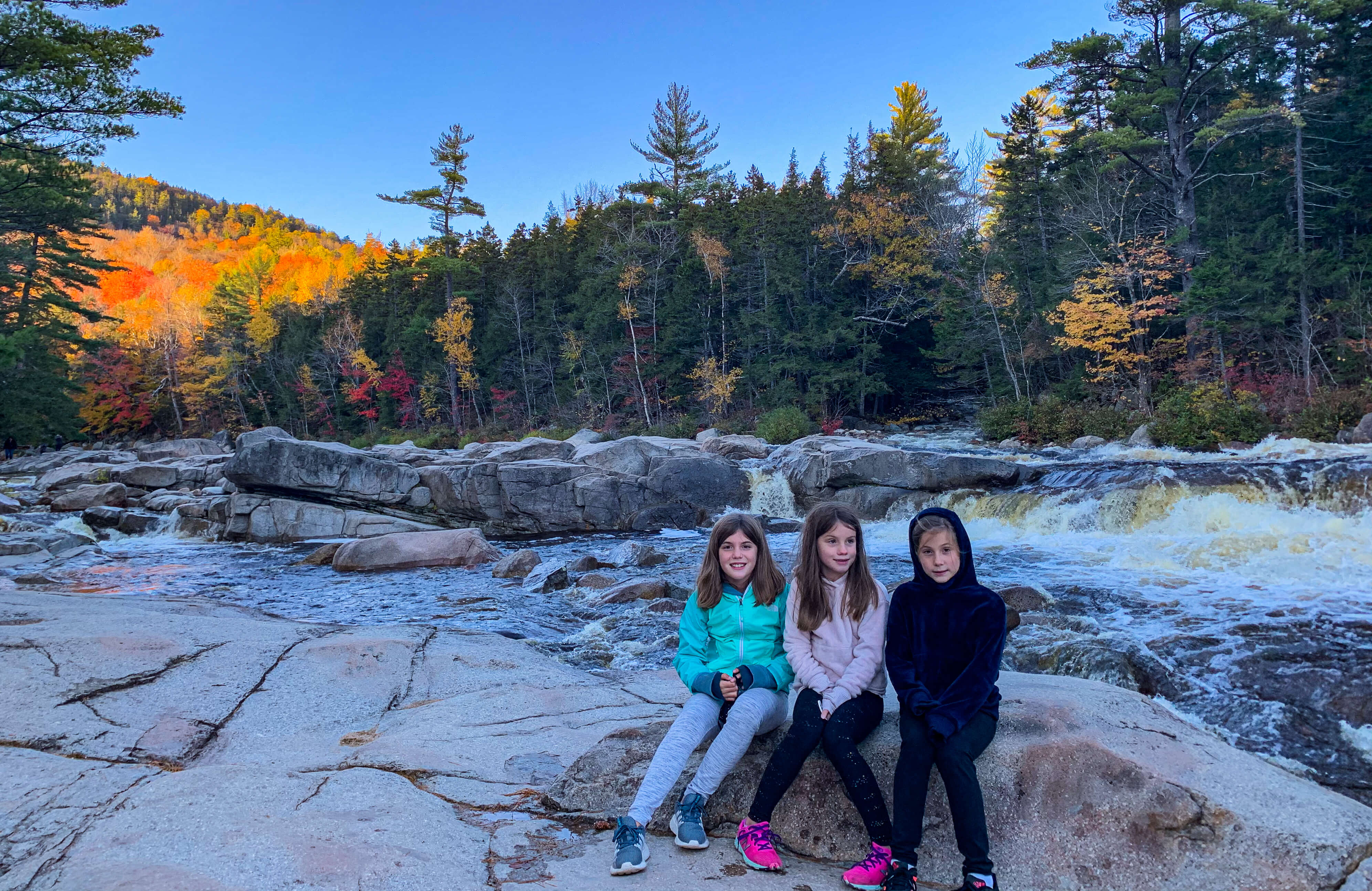
The Lower Falls is an area where the Swift River runs over a series of flat granite rocks creating dozens of small cascades and pools. The smooth rocks are great for sunbathing and the shallow areas by the banks are perfect for dipping your feet in.
The Lower Falls parking lot is one of the largest along the highway and offers restrooms, several picnic tables and charcoal grills, making it a good spot to stop for lunch.
On hot summer days you’ll find this area packed with people cooling down in the pools amongst the falls (caution: it is dangerous to swim here when the water is high or is moving quickly through this area). The water levels are lower in the fall (and maybe a little too cold to swim) so the falls themselves are a little less impressive but with the beautiful foliage views it is still worth making a stop here.
4. Rocky Gorge
Interested in a geology lesson for the kids? Rocky Gorge is a stunning example of the power of erosion, carved out of the rocks by the slow melting of the glacier found in this area over 10,000 years ago. The gorge is easily accessible via the short, paved path that leads from the parking lot. The best views of the gorge and the surrounding mountain peaks can be seen from the foot bridge that crosses over the gorge.
Note, as tempting as it may be, swimming is not allowed at Rocky Gorge. Check out the story of Dorothy Sparks displayed on one of the signs near the gorge to find out why swimming was banned in this area back in 1942.
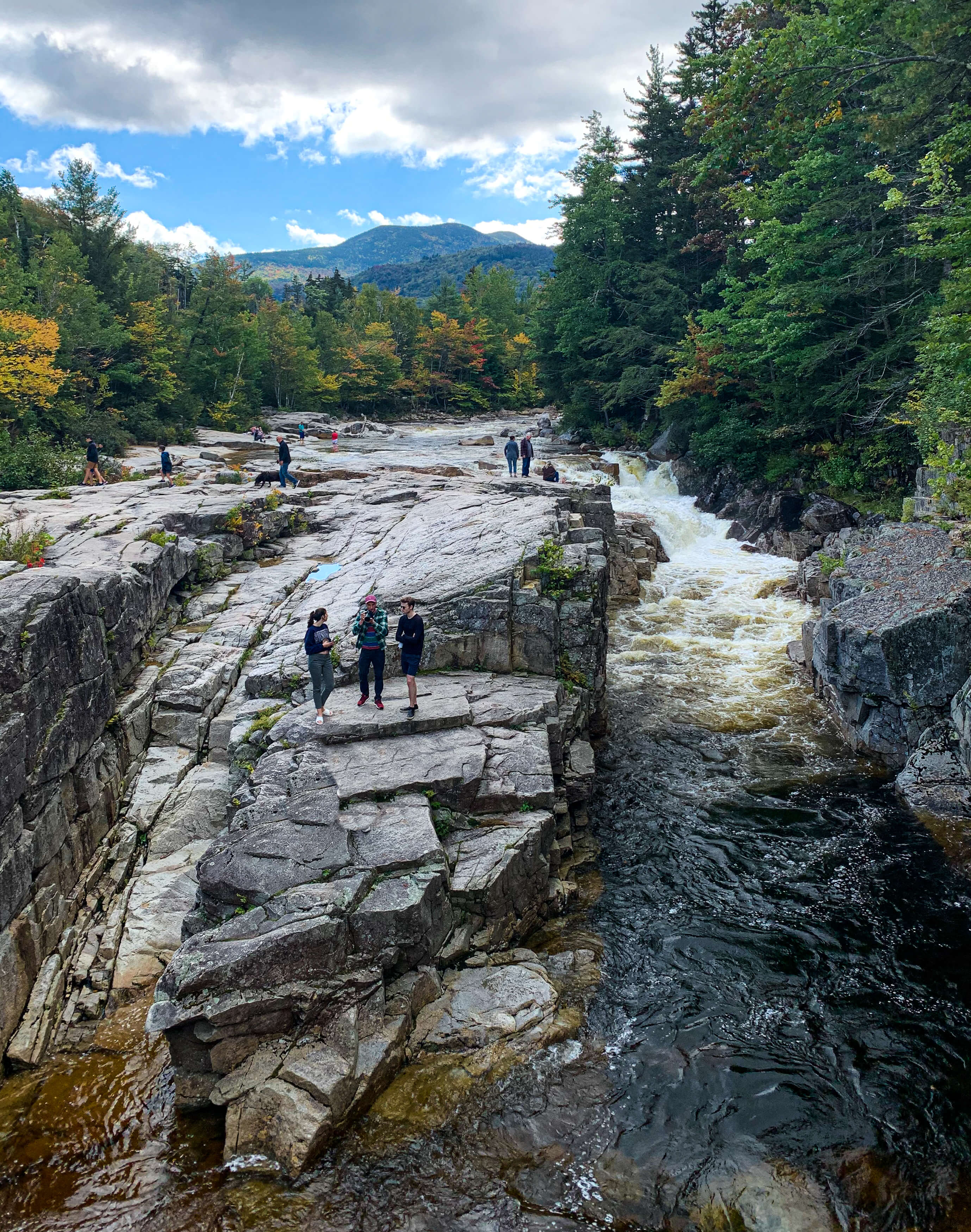
If you cross the bridge to the other side of the gorge, you will find a short trail that leads to Falls Pond. There is a viewing area on the lake that makes for a nice spot for a picnic or you can take in more views on a walk of the one-mile trail that loops around the pond. The pond is a nice addition if you are looking to escape crowds for a little while as most visitors turn around at the bridge.
5. Champney Falls
(Distance: ~3.1 miles out and back)
Champney Falls is a 70-foot waterfall that is broken up into a series of cascades with stunning views of the White Mountains at the top. The falls can be reached via the 1.5 mile trail that is considered to be easy to moderate in difficulty. The first three-quarters of the hike consists of a wooded trail with a gradual incline, as you get closer to the falls the trail becomes rockier before reaching the steep stone stairs that climb up next to the falls. The trail can get fairly muddy if its rained recently.
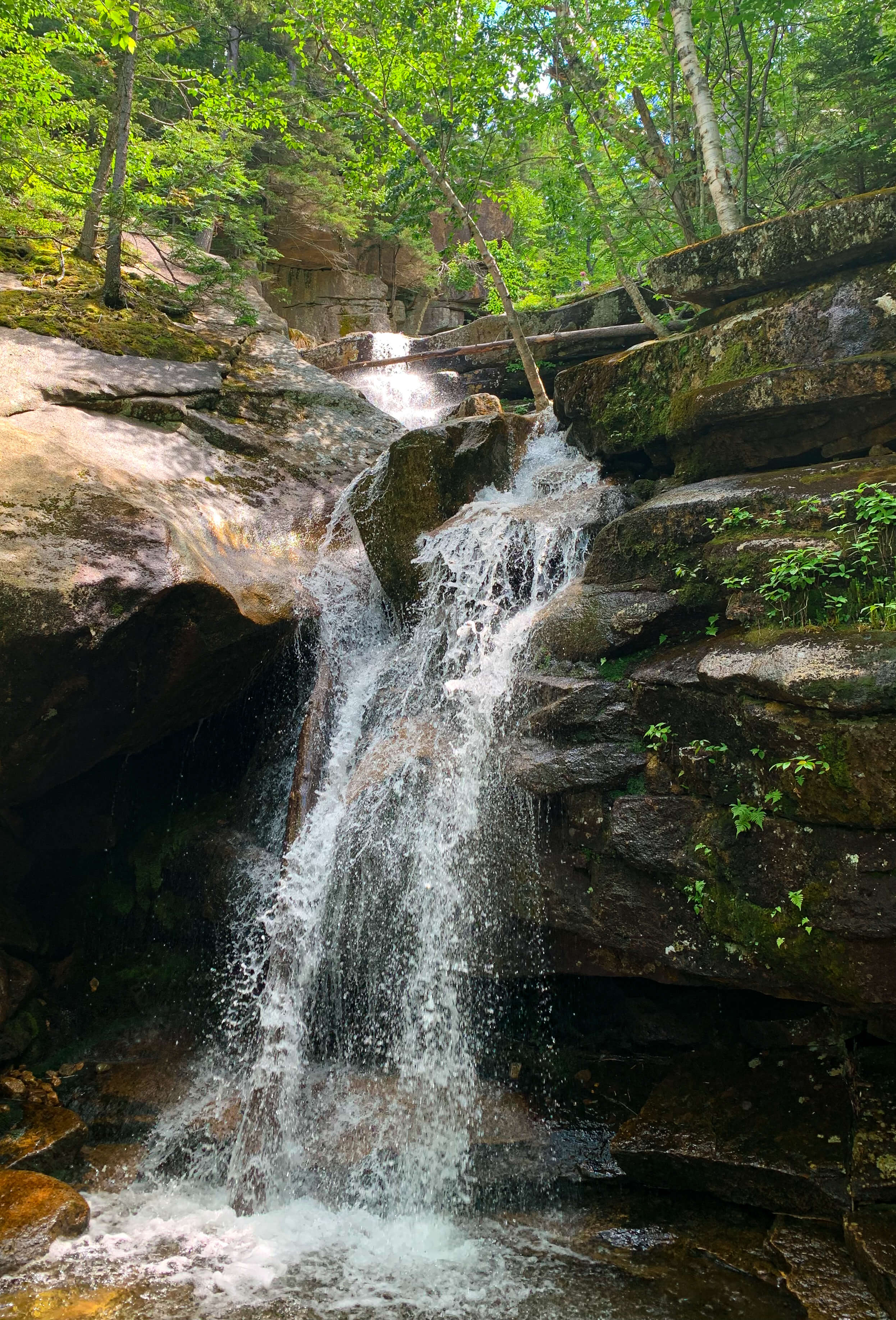
On a hot summer day, bring a bathing suit with you so you can cool down in one of the many inviting swimming holes between the sections of the falls; be careful on the slick rocks. In the winter, this is a popular trail for snowshoeing.
This hike is most suitable for elementary aged kids. There are a couple river crossings in the beginning of the hike (think hopping across rocks), so a hiking backpack is your best bet for taking littles along.
6. Sabbaday Falls
(Distance: ~0.7 miles out and back)
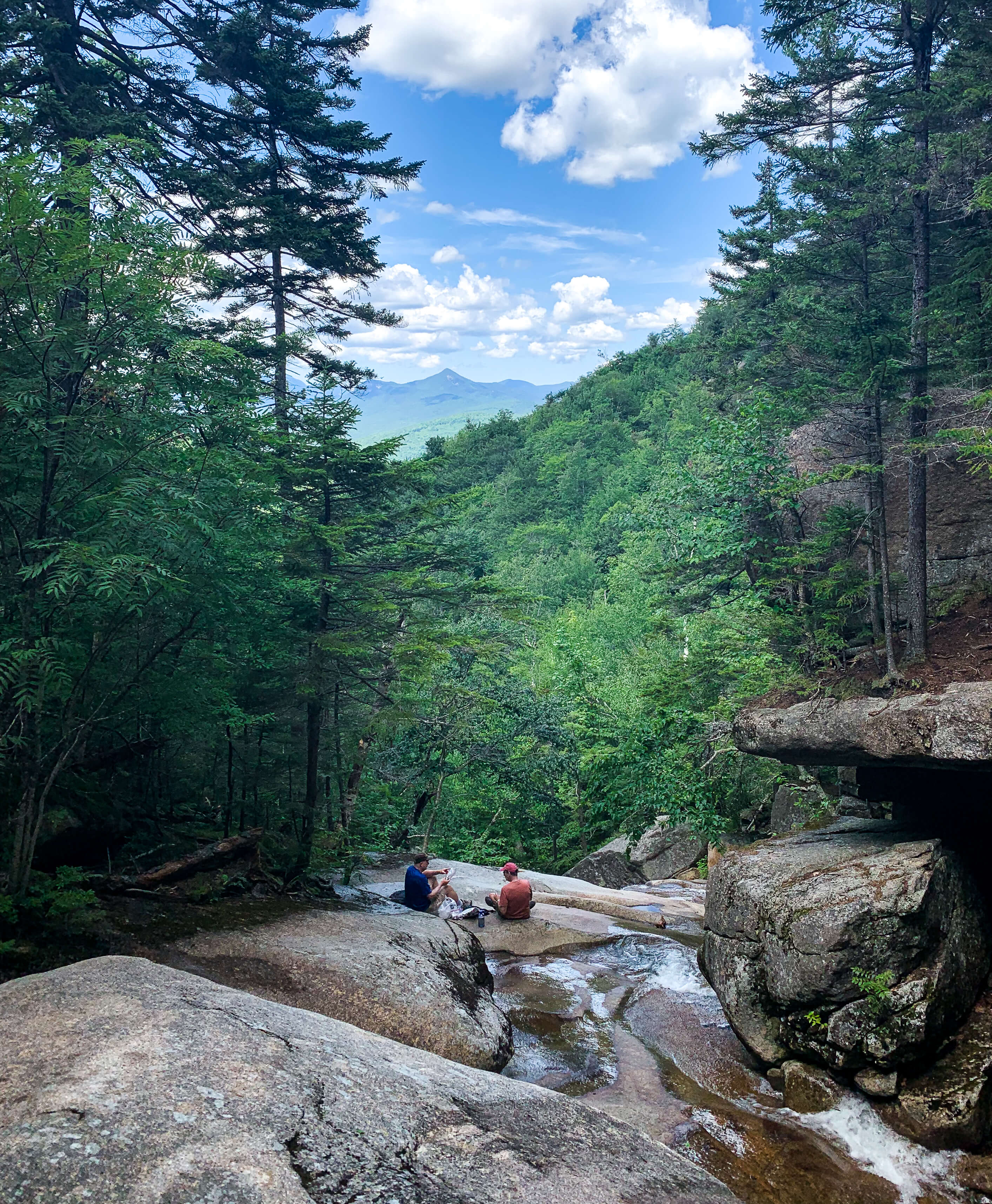
Sabbaday Falls is a great place to stop if you are looking for a short hike with a big pay-off. It is an easy 10-minute walk from the parking lot to the lower part of the falls. The lower falls might not be that impressive but as you climb up the stairs you’ll be rewarded with close-up views of the multi-tiered waterfall from several different angles. At the top of the stairs, cross the bridge and loop back onto the path the heads back to the trailhead.
Most pre-school kids will be able to handle this hike (they might need some help on the stairs). I recommend a carrier for younger kids to avoid having to drag a stroller up or down the stairs.
This hike is popular and gets busy, especially on weekends; it’s best to visit either early or late in the day if you’re looking for a crowd-free hike.

7. Sugar Hill Overlook
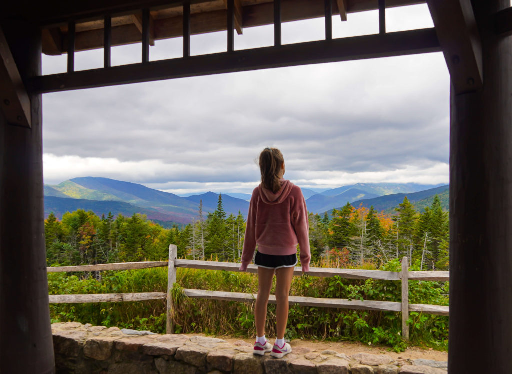
The highest vantage points along the Kancamagus Highway are located on the western half of the drive; you’ll find a number of viewpoints here that are worth pulling over in to snap a picture. Sugar Hill Overlook was our favorite viewpoint (although the others are also worthwhile) with its sweeping views of the mountains and fall foliage. The pagoda is a nice bonus if you like to get creative with photography framing.
Unlike some of the others, this outlook has a large parking but there are no restroom facilities.
8. Lincoln Woods
The Lincoln Woods trailhead is the gateway to the Pemigewasset Wilderness where you can access multiple hiking trails and tent campgrounds.
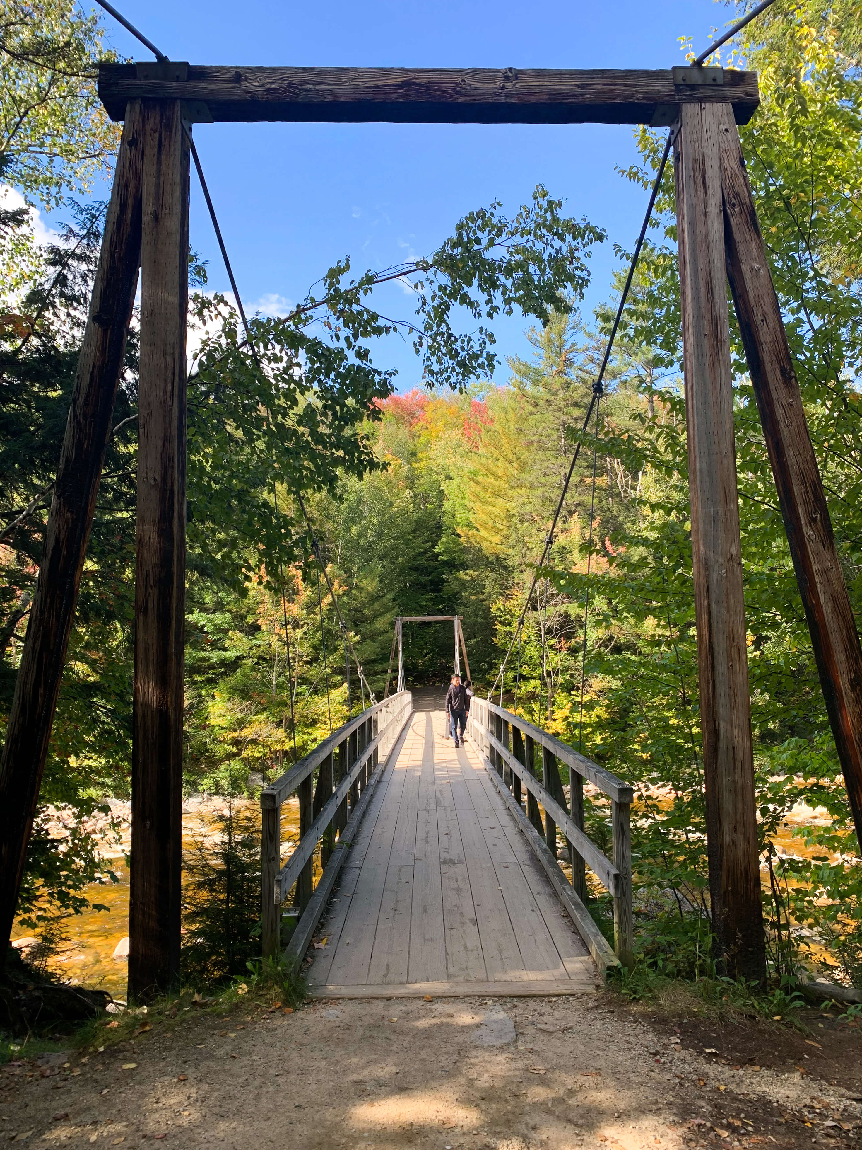
The Lincoln Woods trail runs along the Pemigewasset River on an old logging road, a side trail 3-miles in will take you to Franconia Falls which has a couple nice swimming holes to play in during the summer. Although it is ~6.8 miles out and back, the flat elevation makes this more of a walk than a hike so it’s a great trail to explore with kids or on a bike/snowshoes/cross-country skis.
Even with the bigger lot, parking can be tough here with overnight campers. There are facilities available here, including clean restrooms and drinkable water.